![]()
![]()
 |
 |
Silver Peak, Washington
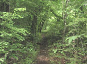
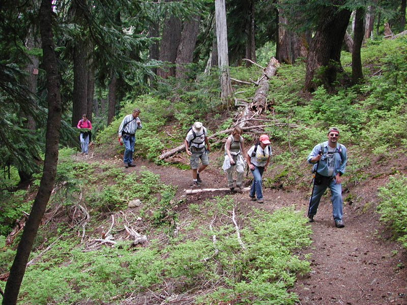
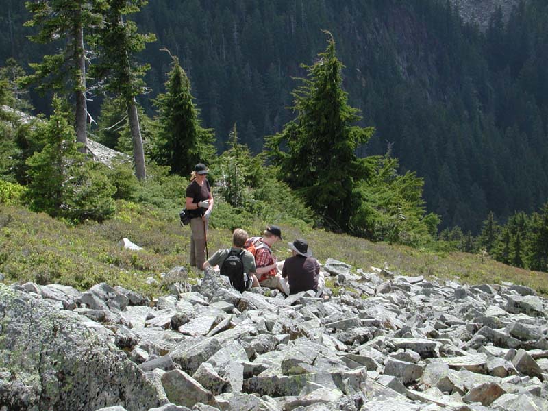
On a trip to WA state I had the pleasure of hiking to a couple of nice lakes and to the top of Silver Peak. The two pictures above show the trail to Mirror Lake and the side of Silver Peak we hiked up. In the picture on the upper left you can see some of the hikers in our group. Click any picture to see a close up.
Silver Peak is just east of Seattle.
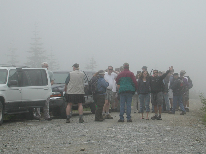
| The day started out pretty froggy.
We had a forecast that called for possible sprinkles all week, but it looked good the day before the hike. We got up to some pretty good fog though. We hoped it would burn off pretty quickly, which it did. Here is the crew getting things together after some of us went to find a quick cache. |
 |
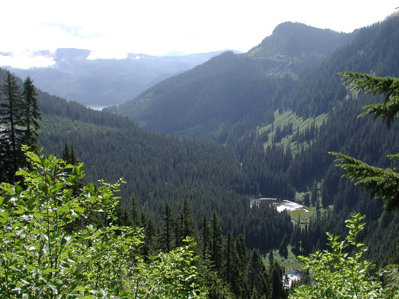 |
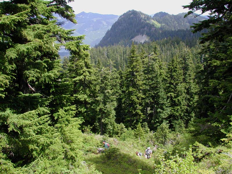
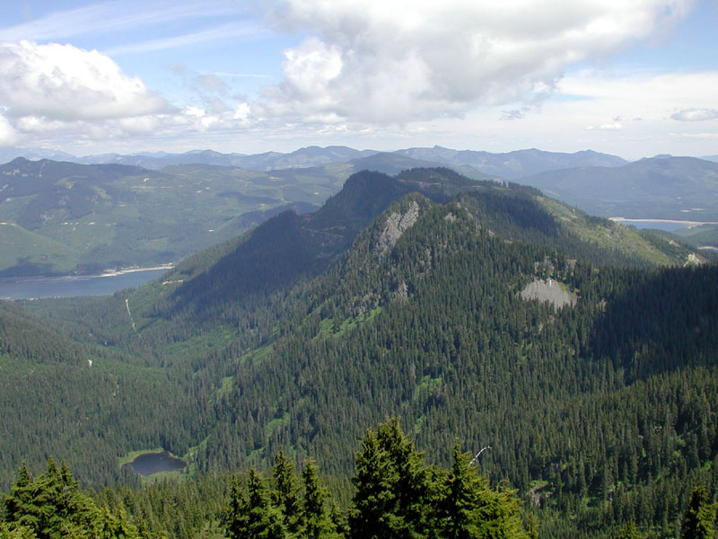
The clouds began to break very quickly though. We were treated to some great views along the way. Here is an early morning shot of a lower lake and the valley below the hiking trail. Off in the distance is the resevoir. |
|
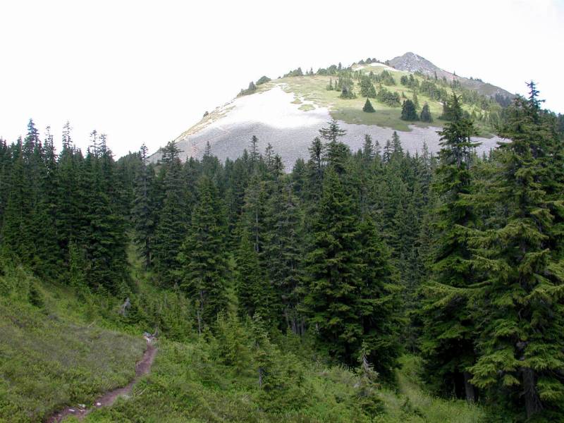
We do get a great view of the hike ahead though... |
 |
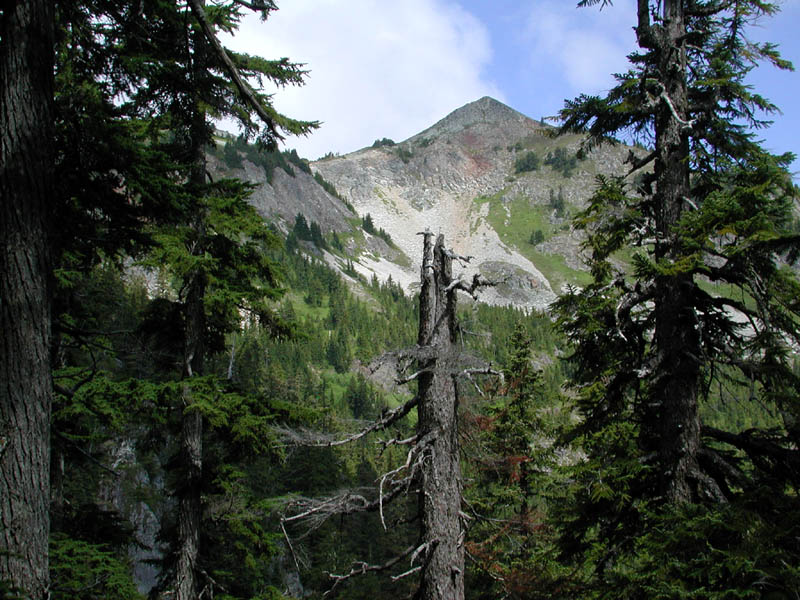
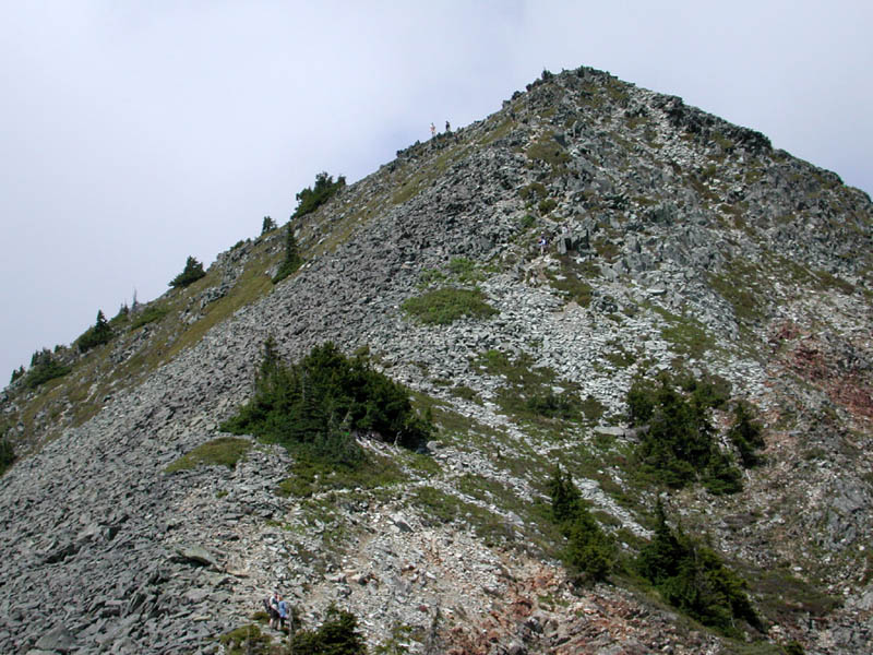
The trail to the top basically follows the left ridgeline you see.
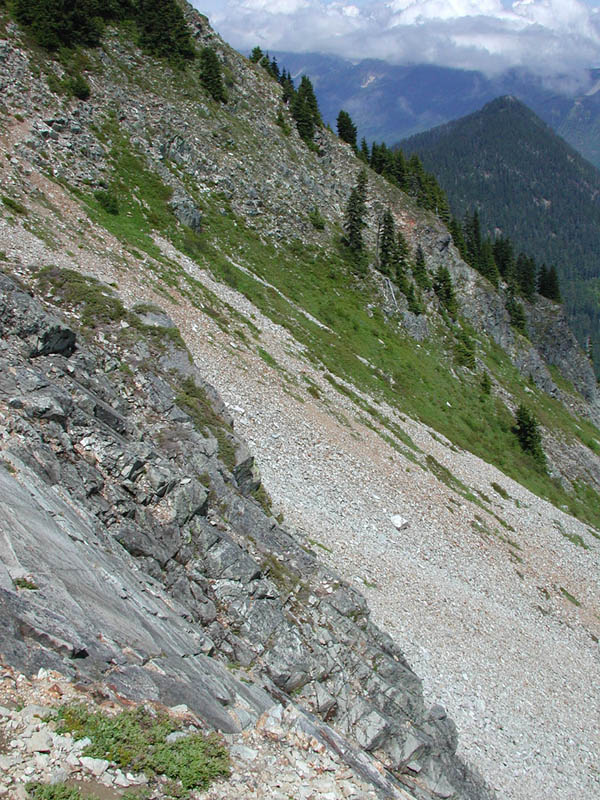
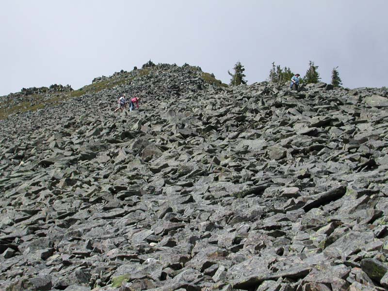
No one will forget the scree field.
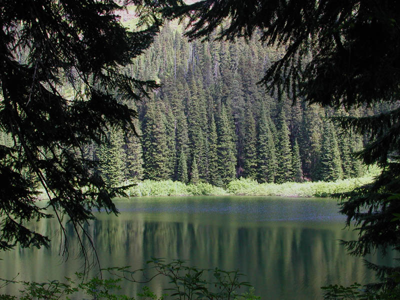
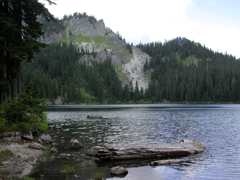
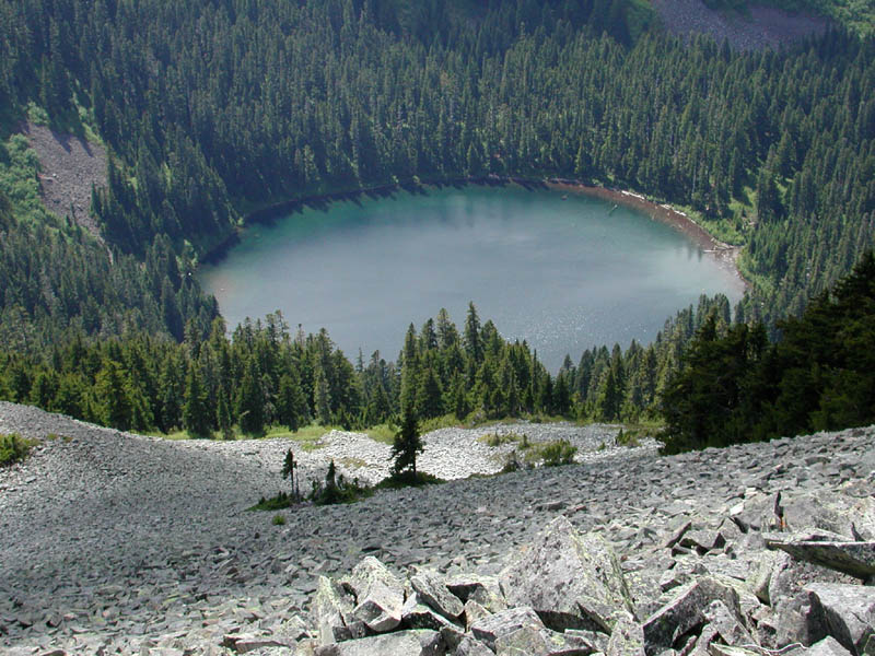
Our first stop was a small lake. It was a smaller closed off lake. It was an amazing place to start off the day.
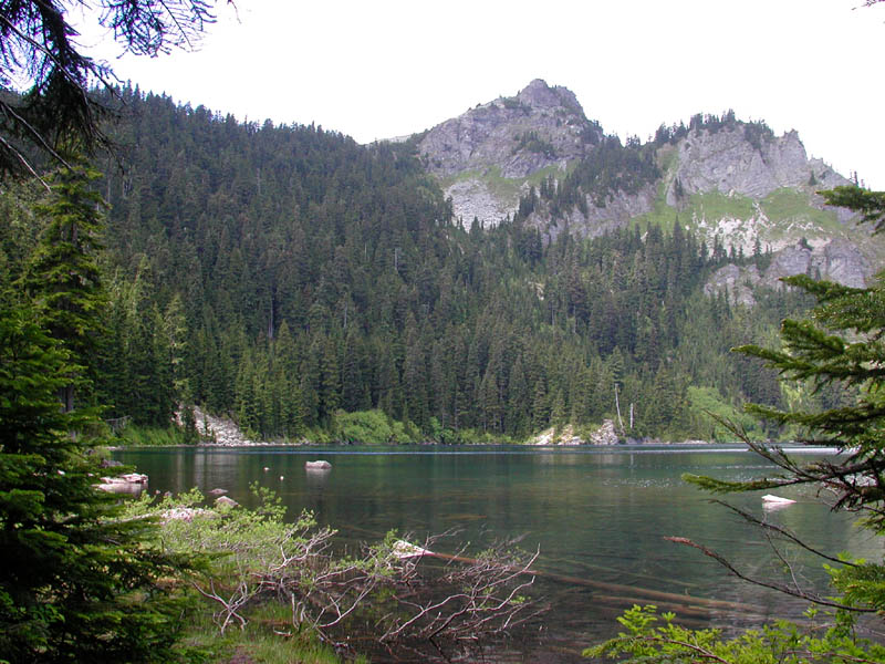
Our next stop was Mirror Lake.
We stopped for lunch here. This trail was chosen to show us the beauty of WA.
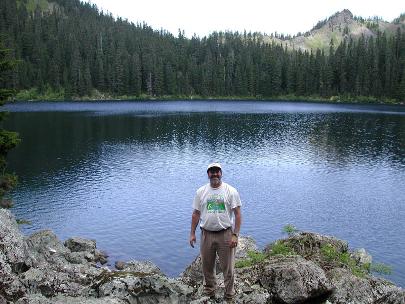
I had to have a shot of me at the lake. What a great view.
This is a little different view of the lake. Pictures don't do justice.

One of the hikers spotted this odd rock on the trail. Pretty cool! Someone added the moss over the "head".
Up comes the group, including my food sherpa, MissJenn. Without her help I would have perished.

Pacific Coast Trail Sign.
One of my "artsy" shots.

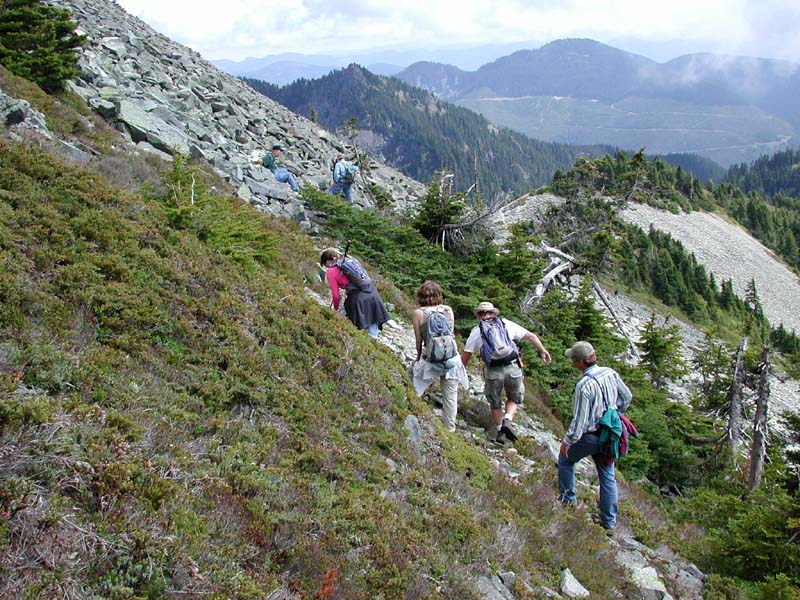
Right after that artsy picture, we turned up the hill and started heading toward the peak.
This was a great picture of the hikers coming up the hill with the mountains and trees behind.

After a short quick hop up a rocky area, we got a great view of the trail and mountain.
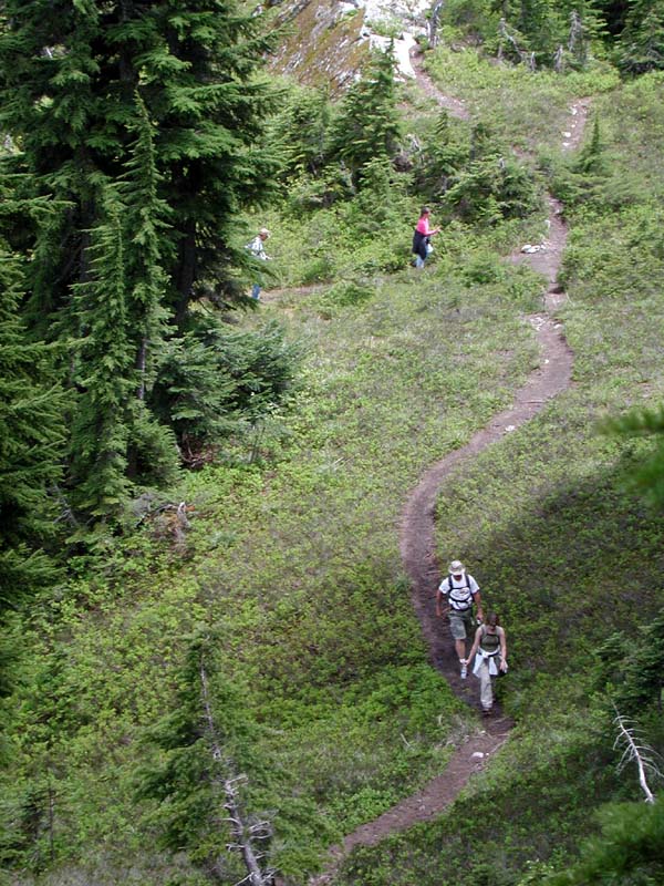
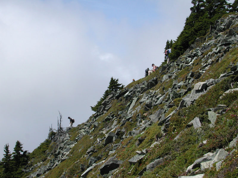
I got some great shots of the hikers coming up the trail.

And more hikers make the turn.

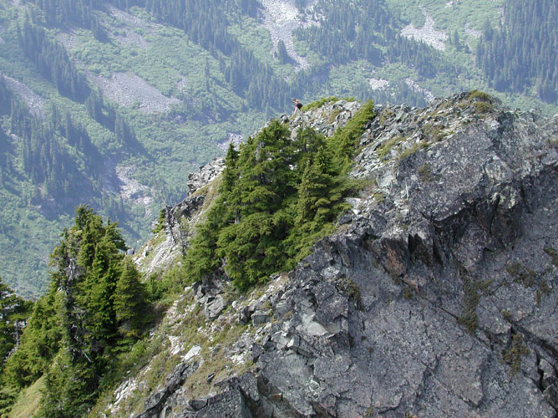
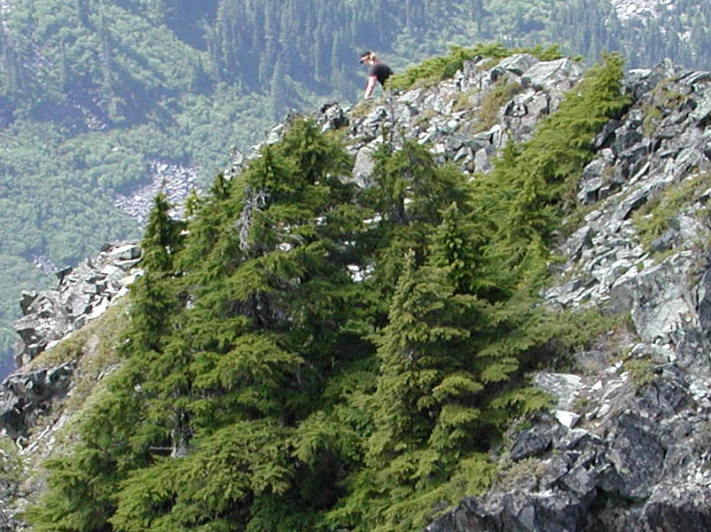
We began to get better and better views of the mountains to the north. Sometime you are hiking so hard that you don't look back like you should.
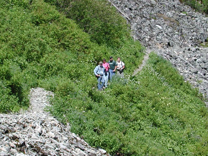
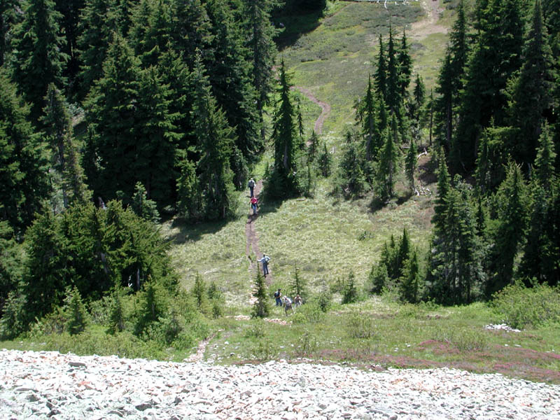
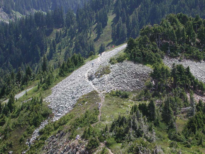
The photo below shows several of our hikers in the scree field. It is a fairly large photo that your browser might resize. Click to make the photo full size and you can see the hikers on the trail.
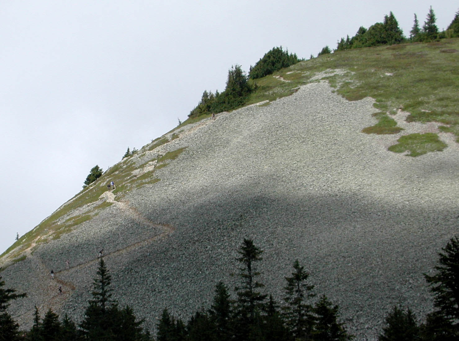
There we began to realize the hike down was more than our group could do. We had originally planned to head down the scree field to the lake. That was going to be more of a challenge than we knew before we got up there.

Coming in closer to the field.
Close up on the hikers.
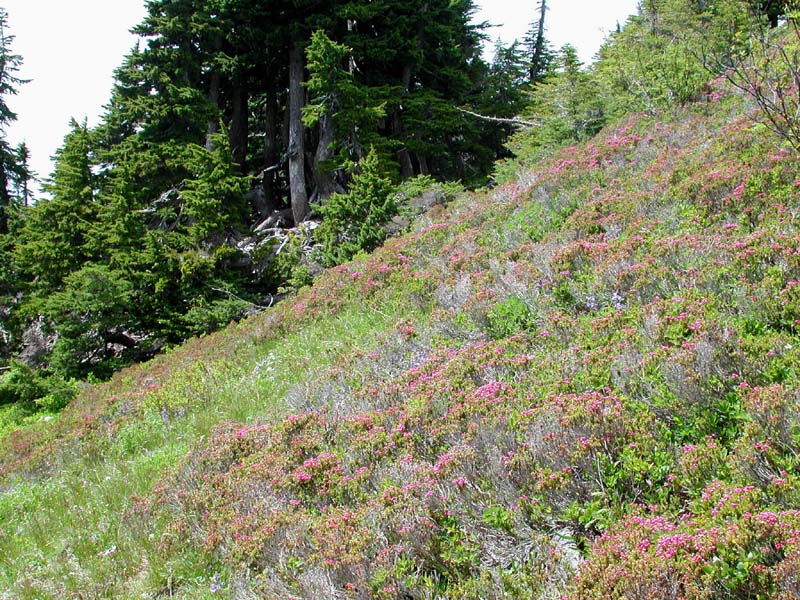
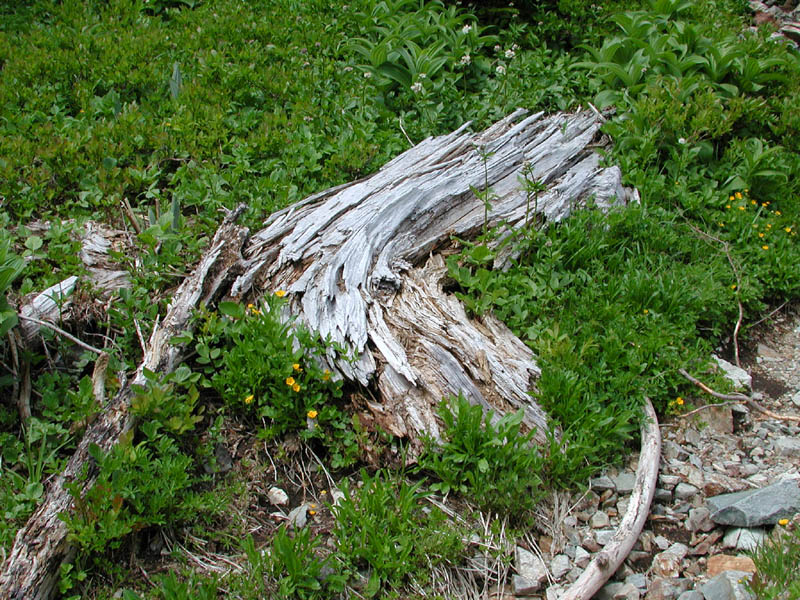
Right at the base of the field was a small area of flowers.

There were several colors mixed into the flowers. I got a good shot.
Hikers on the trail behind me.
Ants I tell ya'!

The view behind them.
One of my screensaver shots.
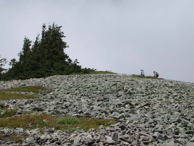
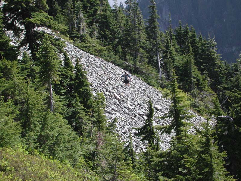
Getting higher, you get past the scree and get into the boulders. Hikers are all over. A large version is here.
Once again, looking behind me,
tremendous views abound.
Another of my screensaver shots.

Higher up. See the bush on the left in the picture above too?
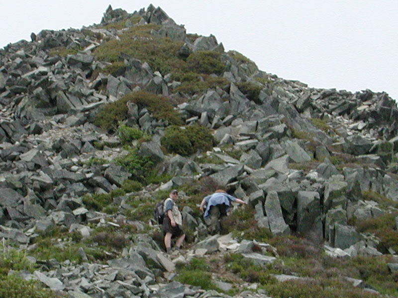
Here is a close up showing just how big the boulders are.
At this point, it was... steep.
Ants I tell ya', ANTS!!!
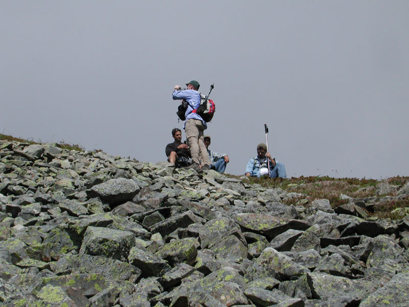
A cool shot of people lounging near the top. It was steep up here still.
From the top, there was a great view of the lake below.

Still, the cache called to us...
and the cache was over here.
We went across the field to avoid having to go over the top again.

CYBret
The man and the mountains.
Assessing the situation.
Moving across the field to the gap.
Taking a break.
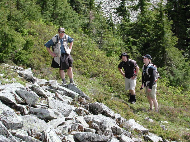
The kilted one scouts!
Back up the hill huh, really?

A waterfall near the junction.